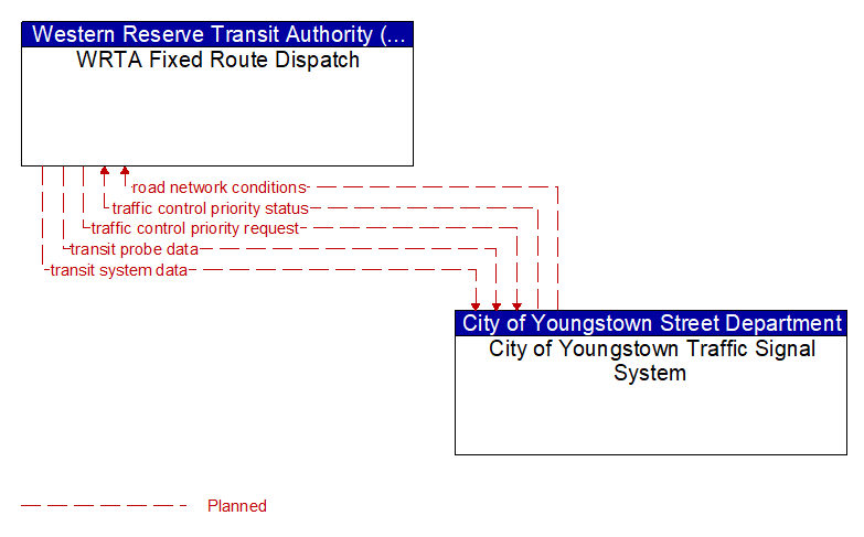
Interface: WRTA Fixed Route Dispatch - City of Youngstown Traffic Signal System
Information Flow Definitions
road network conditions (Planned) Selected Comm Solution
Current and forecasted traffic information, road and weather conditions, and other road network status. Either raw data, processed data, or some combination of both may be provided by this flow. Information on diversions and alternate routes, closures, and special traffic restrictions (lane/shoulder use, weight restrictions, width restrictions, HOV requirements) in effect is included.
traffic control priority request (Planned) Selected Comm Solution
Request for signal priority at one or more intersections along a particular route.
traffic control priority status (Planned) Selected Comm Solution
Status of signal priority request functions at the roadside (e.g., enabled or disabled).
transit probe data (Planned) Selected Comm Solution
Aggregate probe data derived from tracking transit vehicles. Data collected could include transit vehicle speeds and travel times for a given link or collection of links.
transit system data (Planned) Selected Comm Solution
Current transit system operations information indicating current transit routes and fares, the level of service on each route, and the progress of individual vehicles along their routes for use in forecasting demand and estimating current transportation network performance.